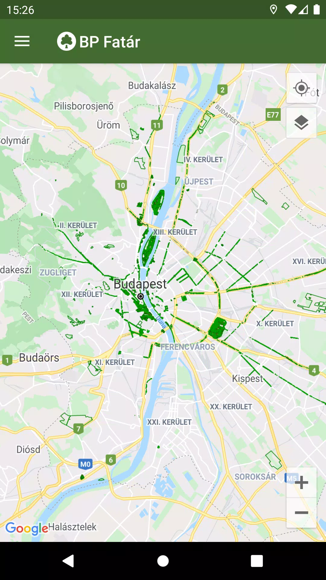
Discover the official tree and park cadastral application from FőKERT with the BP Fatár app. This comprehensive tool allows you to explore the public tree and park cadastre managed by FőKERT, along with additional cadastres from various district municipalities including I., VI., X., XI., XIII., XIV., and XVIII.
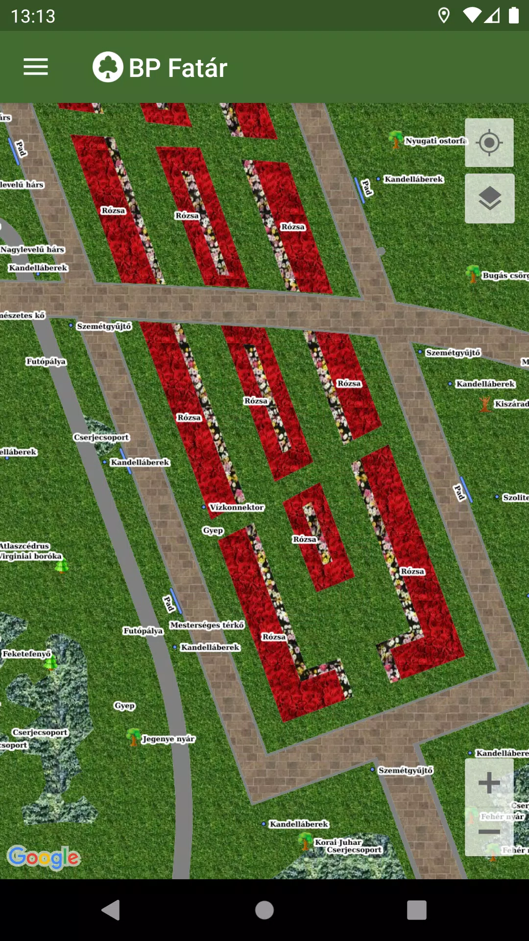
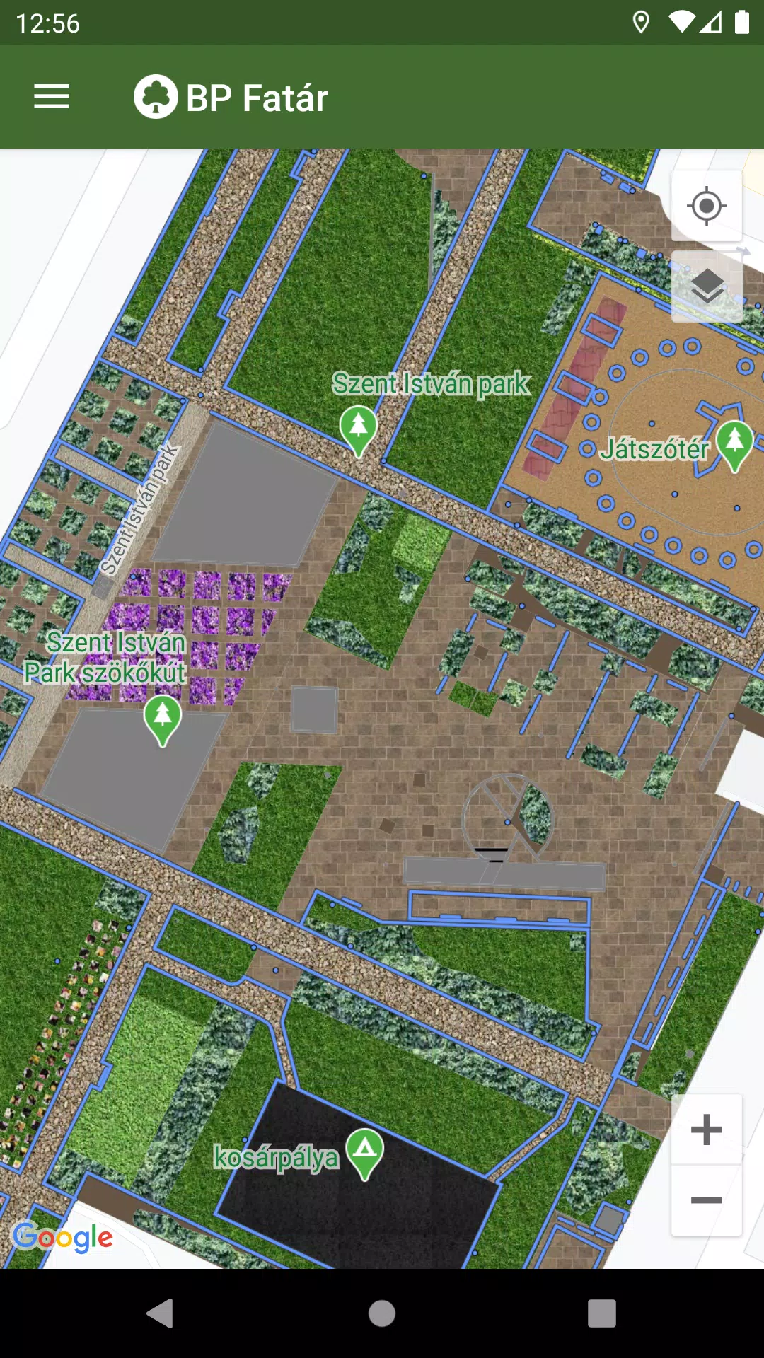
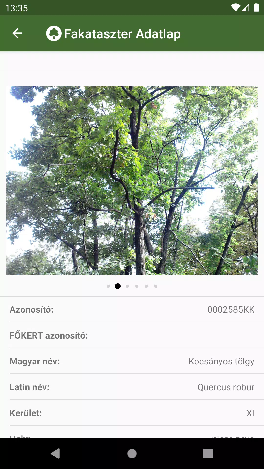
To delve into the details, simply navigate the map within the app to your area of interest. Click on the points, lines, or surfaces that represent cadastral elements to access their data sheets. These sheets provide valuable information about the selected elements, complete with accompanying photos for a more detailed view.
Enhance your exploration with our integrated search engine, designed to facilitate easy navigation:
- Search for specific tree species using the tree scanner, utilizing both Hungarian and Latin names.
- Explore park cadastres by browsing categories organized into groups.
Both search options will display the locations of all corresponding cadastral elements directly on the map, making it easier for you to find what you're looking for.
If you notice any issues, such as a damaged tree or bench, you can report them directly to the data manager's staff listed on the data sheet. Simply click the "Error report" button on the relevant element's data sheet to initiate the process.
What's New in Version 1.5.2
Last updated on Oct 20, 2024
Bug fixes.